Meet The Artist
My name is Mitch Heil. This is Horn Dog Maps.

If you had a time machine and went back in time 20 years and told my parents that their middle son was going to do woodworking they would have laughed and said “You mean the same son that put on wall trim with a 5lb hammer?” Yes, I did that. A lot has changed since then.
Why woodworking, why maps, and why with a laser?
When you look back on your own life you may see lots of little unrelated things may all come together and make you who you are. Let’s start with the maps and specifically them being of lakes. I love fishing. I obsess over fish, how to catch fish, where to fish, when I will fish again, what I did last week, last year, last decade. Out of all my hobbies I’ve ever had over my life fishing is the one that has been there the entire time. Because of my love of fishing I am always looking for new lakes to fish. I spend a lot of time on the internet researching new lakes and looking at maps of those lakes. For fun I like to go to some random lake and try to break it apart and see where I could catch say a bass. Then I will look online and research the lake and see if other people’s reports match up with what I thought.

The second half of liking maps aligns with my time in the Army. I was a mortarman in the 82nd Airborne. One big part of the military is land navigation which is reading maps and being able to navigate from one point to another, reading terrain to try to identify your location if you don’t know it, and as a mortarman it was plotting your location and enemy locations on an aiming circle and doing math equations to figure out which direction to point, how far the target is, and what data to give the mortar itself to get the round on target. All of that stuff was fascinating to me.
Now on to the weird one that you wouldn’t think came from the Army. Woodworking. When we were stationed in Afghanistan in 2005 we were living in tents. They were large-ish tents that were framed out and could sleep 20 people or so packed in, but we had about 10 people per tent. The framing was pretty sparse and the tents leaked. We wanted to reinforce them for the upcoming winter. Didn’t want the tent caving in on you while you were asleep. They put someone in another platoon in charge of the whole operation and I was just a helper. But it was an incredible experience. It was not perfect measurements and would not pass any type of code, but it was so much fun to figure out the angles, spacing, and just the physical work of doing it. That was definitely one of the highlights of the deployment and the woodworking is something that has kind of stuck with me ever since. After that point I have been self taught or learned through various YouTube channels. The biggest influences would be The New Yankee Workshop, Matt Cremona, Jackman Works, Third Coast Craftsman, and many many more.

The last component of the maps is designing them and using the laser to cut them out. This is kind of a 2-part answer. In addition to fishing another hobby of mine that has always been there in one shape or another is computers and art. I taught myself photoshop in High School and took as many art classes as I could. After I got out of the Army I went to school for Digital Video and Media Production where I further learned Adobe photoshop, Illustrator, After Effects, and Premiere. While in school I also learned about color theory and design principles. In addition to those I also worked with 3d programs which taught me things like x,y,z axis which comes into play with the laser. I use all of that knowledge from school and real-world use and put them into designing my maps. Once they are ready to go I send the files to the laser which kind of acts like a big printer and the wood is the paper.
So that brings us to the present time. I never thought this would be a business idea. I never intended to sell anything. I saw something similar to this a few years ago but it was an inverted paper map of Lake Superior and was on the cover of The Growler Magazine. I thought it looked cool but wanted to have it of one of my lakes and have it go down in depth like a real lake would be. After some design tests and troubleshooting I figured out how to get it to work. After I cut out my own map and showed it to my friends on Facebook they started asking me for one of their lake. I had cut my original one out with a scroll saw but that was way too time consuming. Eventually, I found a place that has a laser I could use.

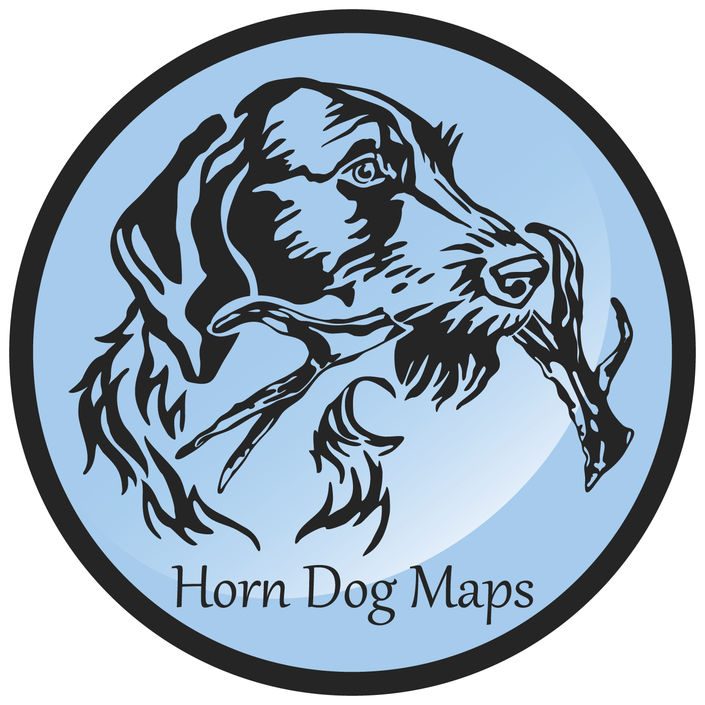
And now onto the name. Why the heck is it Horn Dog Maps and not 3d Lake Maps Company or something like that? The answer is simple. My dog. My dog's name is Sterling and he is a German Wirehaired Pointer. I've always liked the breed. There is something different about their look that I have always seemed to like. Plus they have a beard like me. Now the horn part. My dad is huge into shed antler hunting in the winter. He walks hundreds of miles a year looking for big antlers deer have dropped. We call them horns. We know they are technically antlers but we say horns anyway for fun. My dad also has a German Wirehaired Pointer and both of our dogs are trained (by us, not professionally) to hunt for deer antlers. So put it all together and you have Horn Dog Maps. It has nothing to do with what you initially thing of when you hear "horn dog". It is an attention grabber for sure though. That's it, that's our story!

What is in store for the future? I am always looking at more things to make and ways to expand my line. The next step is going to be cribbage boards, pillowcases, maybe even apparel. Who knows. I enjoy this and I have no intentions of stopping any time soon.